FAIR SURVEYING & MAPPING LTD
Reliable | Professional | Expert Solutions
Professional land surveying, mapping, and technical services with unmatched accuracy and reliability
Comprehensive first-time registration services for land parcels with accurate measurements and legal documentation.
We offer comprehensive first-time registration services for land parcels, ensuring accurate measurements and legal documentation for your property. Our team uses state-of-the-art equipment to survey y...
Complete building permit services with document preparation and authority liaison.
Complete building permit application services including document preparation, technical drawings, and liaison with local authorities to ensure smooth approval process for your construction project....
Environmental impact assessments ensuring regulatory compliance and sustainability.
Comprehensive environmental impact assessments for development projects, ensuring compliance with environmental regulations and sustainable development practices....
Experience precision and excellence with our premium surveying equipment and software solutions designed for professionals.
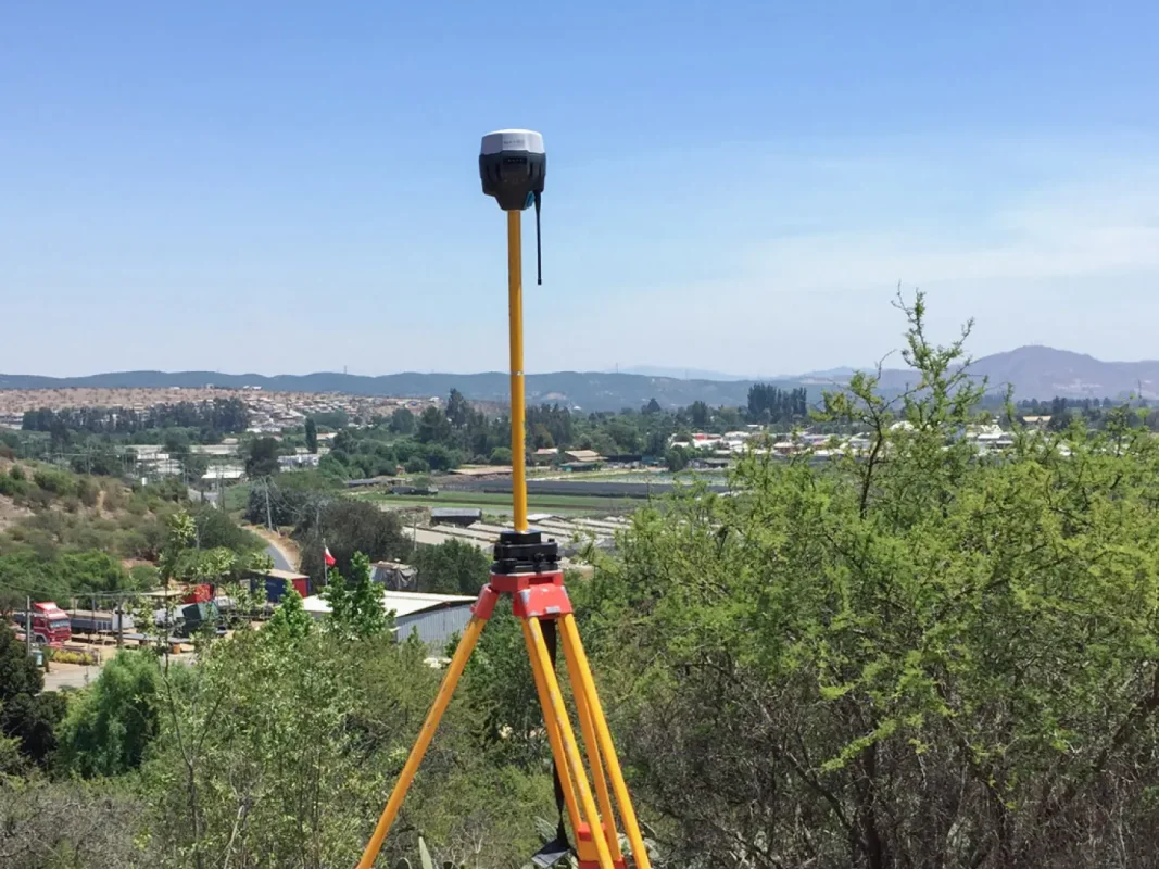
High-precision surveying instrument for accurate field measurements.
Advanced digital level for precise elevation measurements.
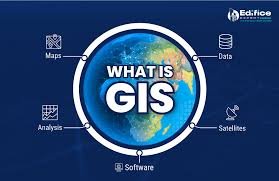
Comprehensive GIS software for spatial analysis and mapping.
Enhance your skills with our specialized technical training programs taught by industry experts.
Comprehensive total station operation and data processing training.
Master GIS fundamentals with ArcGIS software and spatial analysis.
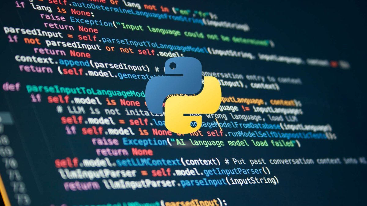
Python programming for data analysis and geospatial applications.
Discover our latest research projects and professional support services for academic and industrial research.
No research projects available at the moment.
Contact us today to discuss your surveying and mapping needs. Our expert team is ready to provide you with reliable and professional solutions.