Professional Training Programs
Enhance your skills with industry-leading training in surveying, mapping, and geospatial technologies

Why Train With Us
Expert Instructors
Learn from licensed surveyors with extensive field experience and teaching expertise
Hands-on Practice
Gain practical experience with industry-standard equipment and software
Professional Certification
Earn recognized certificates that enhance your professional credentials
Modern Equipment
Train using the latest surveying and mapping technology available in the industry
Training Categories
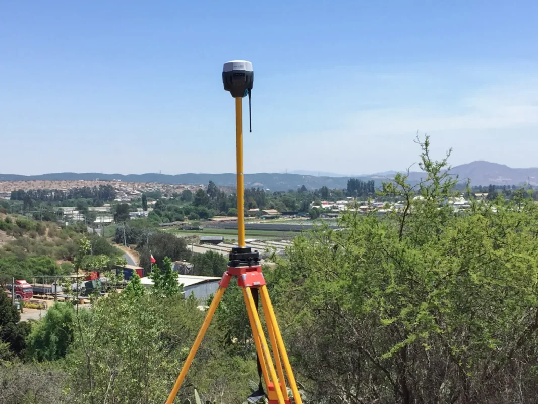
Land Surveying Equipments
Comprehensive total station operation and data processing training.
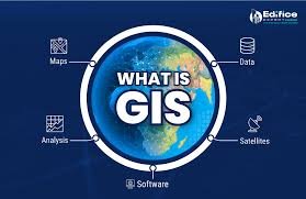
ArcGIS softwares
Master GIS fundamentals with ArcGIS software and spatial analysis.

Python for Data Analysis
Python programming for data analysis and geospatial applications.

AI for GIS Analysis
This beginner-level course introduces participants to the fundamentals of Artificial Intelligence (AI) in Geographic Information Systems (GIS). Through hands-on exercises and real-world case studies, learners will explore how AI and machine learning algorithms can enhance spatial data analysis, automate land cover classification, and support decision-making in environmental management, urban planning, and agriculture. By the end of the course, participants will be able to: Understand the b
Land Surveying Equipments
Learn to operate total stations and process survey data efficiently for various applications including construction layout, topographic surveys, and boundary determinations.
What Our Students Say
"The GIS training from Fair Surveying transformed how our team handles spatial data. The instructors were knowledgeable and patient, ensuring everyone understood the concepts regardless of their starting point."

"I took the Python for Geospatial Analysis course as a complete beginner to programming, and now I'm automating most of my GIS workflows. The step-by-step approach and real-world examples made learning easy."

"The Drone Mapping and Photogrammetry course gave me the skills to significantly expand my surveying services. The hands-on approach allowed me to immediately apply what I learned to real projects."

How to Enroll
Simple steps to join our training programs
Choose a Course
Browse our training catalog and select the program that best fits your needs and skill level.
Register Online
Fill out the registration form with your details and preferred training date.
Secure Your Spot
Make the payment to confirm your registration and secure your place in the course.
Attend & Learn
Join us on the scheduled date and enhance your professional skills with our expert instructors.
Frequently Asked Questions
What prerequisites are needed for your courses?
Our beginner courses require no prior experience in the field. Intermediate courses generally require basic knowledge of surveying concepts or related software. Advanced courses typically require professional experience or completion of our prerequisite courses. Specific requirements are listed on each course page.
Are computers provided for software training courses?
Yes, we provide computers loaded with all necessary software for our training courses. However, participants are welcome to bring their own laptops if they prefer. We will assist with temporary software installation where possible, or help you utilize trial versions for the duration of the course.
What is your cancellation and rescheduling policy?
Cancellations made more than 14 days before the course start date receive a full refund. Cancellations between 7-14 days receive a 75% refund. Cancellations less than 7 days before the start date are not eligible for refunds. Rescheduling to another training date is possible at no additional cost if requested at least 7 days before the original course date.
Do you provide certification after course completion?
Yes, all participants who successfully complete our courses receive a professional certificate from Fair Surveying & Mapping Ltd. Our flagship courses also include assessment components, and those who pass receive certification indicating proficiency in the subject matter.
Do you offer discounts for group enrollments?
Yes, we offer tiered discounts for group enrollments: 10% discount for 3-5 participants, 15% for 6-10 participants, and 20% for groups larger than 10. We also offer special rates for academic institutions and government agencies. Please contact us for details about group registrations.
Ready to Advance Your Professional Skills?
Join our expert-led training programs and enhance your capabilities in surveying, mapping, and geospatial technologies.